

Faden Plan of the City and Environs of Philadelphia (1777)
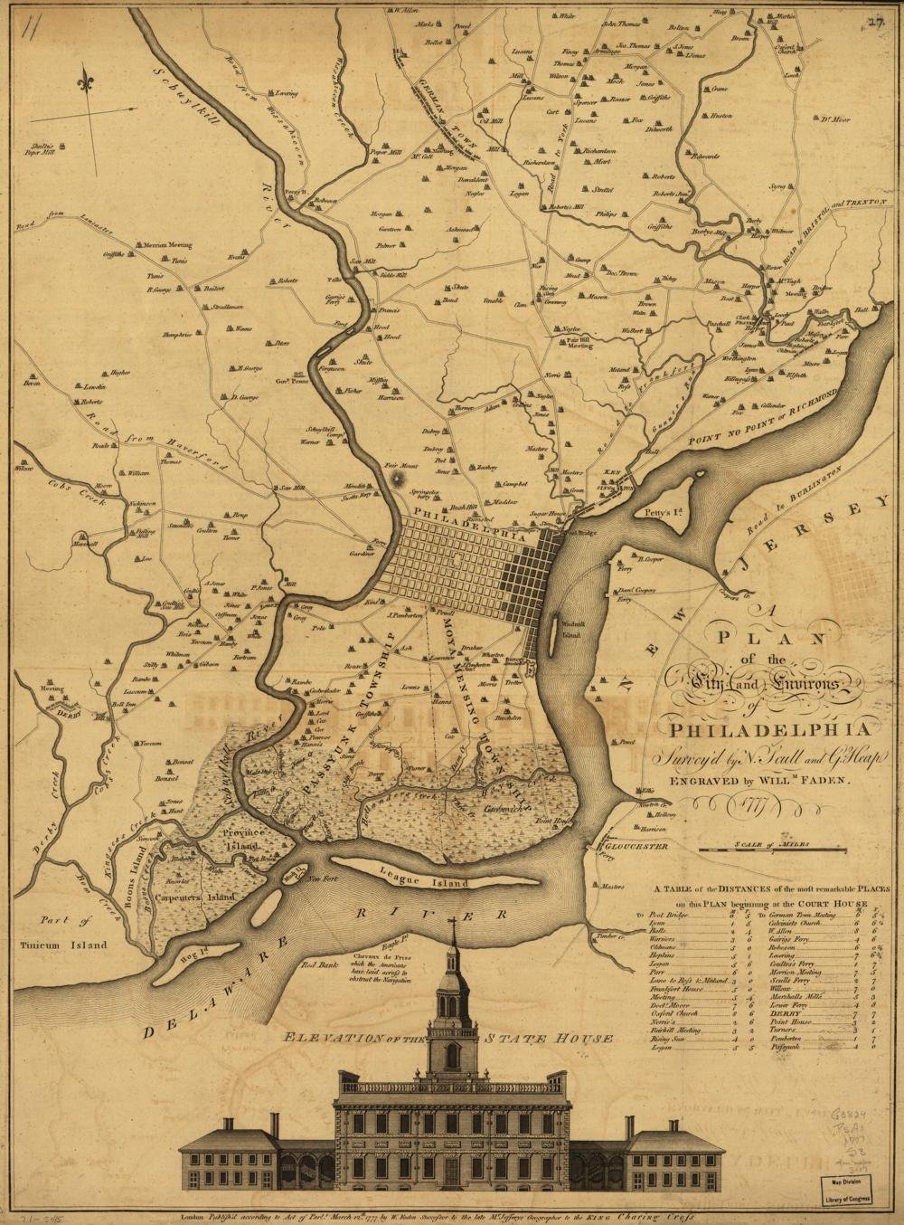
Year Mapped: based on the Nicholas Scull & George Heap survey of 1752, updated
First Published: London, 1777, by William Faden
Cartographer: William Faden, royal geographer to George III, after Scull & Heap
Source: Library of Congress
Type: City and environs; built-up extent shaded; rural landholder names
Period: Philadelphia 1776
Digital Access: https://www.loc.gov/item/gm71005415/
Coverage: Philadelphia and surrounding countryside between the Delaware and Schuylkill
Summary
Published in London during the British campaign for Philadelphia, this plan updates the classic Scull & Heap map of 1752 with shading showing how far the city had expanded from the Delaware waterfront. It shows roads, rural landholders’ names, a table of distances, and the famous view of the State House (Independence Hall). LOC scan is 5,488 × 7,434 px with IIIF.
Parcel-readiness: LOW-MEDIUM
- No in-city parcels; the value is environs context — terrain, roads, and estates around the 1776 city, plus British-occupation-era relevance
- IIIF:
https://tile.loc.gov/image-services/iiif/service:gmd:gmd382:g3824:g3824p:ct000185/info.json - The related c. 1750 Scull & Heap map is a georeferenced layer at philageohistory.org
Sources
- Library of Congress: item gm71005415 · resource viewer